NavMarkers and Skylark Belt
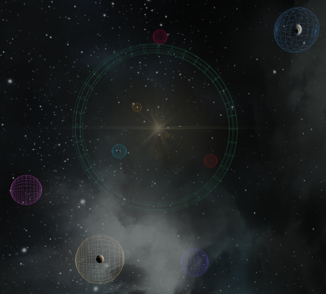
Top down, in game view of part of the Sol system with both enabled.
NavMarkers is included in the server modpack.
Skylark Belt is a plugin that must be loaded via Pulsar Plugin Loader.
Both together can show you the borders of the Nexus sectors, mainly to avoid dipping into them on your route elsewhere. Some additional setup is required, but once done, navigating the Sol System Map becomes even easier.
1. NavMarker setup
All the spheres.
Copy the list below
Click to show the list
GPS:Ceres (R-750):9447958.01:993020.4:0:#FFB81559:NavMarkers:
GPS:Earth (R-750):-2490486.75:435778.71:-4313649.58:#FF199FBA:NavMarkers:
GPS:Greeks (R-1500):-14488887.39:0:3882285.68:#FF5C3FBC:NavMarkers:
GPS:Jupiter (R-2500):-13594616.81:0:-6339273.93:#FFB59E6E:NavMarkers:
GPS:Mars (R-750):-3486681.44:-610090.2:6039109.41:#FF8E170D:NavMarkers:
GPS:Mercury (R-250):-835637.09:208377.81:835637.09:#FFAC6C1B:NavMarkers:
GPS:Neptune (R-1500):-20075175.27:0:28670321.55:#FF14B343:NavMarkers:
GPS:Pluto (R-300):-27701614.66:12940952.26:-39562005.76:#FFAC6C1B:NavMarkers:
GPS:Saturn (R-2500):11471528.73:0:16383040.89:#FF3D6797:NavMarkers:
GPS:Trojans (R-1500):-6339273.93:0:-13594616.81:#FFB652B6:NavMarkers:
GPS:Uranus (R-1500):17677669.53:0:-17677669.53:#FF14B343:NavMarkers:
GPS:Venus (R-500):2228365.57:-555674.17:-2228365.57:#FFAC6C1B:NavMarkers:
In the GPS tab click on 'New from Clipboard'
:NavMarkers:creates a folder if you have the 'GPS Folders' plugin and is ignored if you don't.
Go to 'control' tab, any 'cockpit'. Look for the 'available GPS' list and add all those markers to the list below that one
Colors roughly match those from the System Map.
Excluded from this list: Sol, The Belt. Both sit on 0,0,0 anyway and NavMarkers can't show us anything useful. Do !nexus sectors true to get those if you need to.
You can hide the spheres at any time via 'control panel' -> 'cockpit' or by putting a cockpit with the 'toggle navmarker' action on any hotbar.
Create your own markers by adding (R-XXX) or [R-XXX] to a GPS name. XXX is the sphere's radius in km.
Color of the spheres is based on GPS color at time of creation.
2. Skylark Belt setup
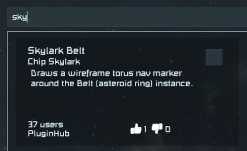
Load the plugin 'Skylark Belt' via Pulsar
(optional) run
/belt scale 0.0005and then/belt color #2a5a45
/belthides/unhides the torus%AppData%\SpaceEngineers\Storage\holdsSkylarkBelt.cfg. Edit it, then do/belt reload.see the github readme for more information